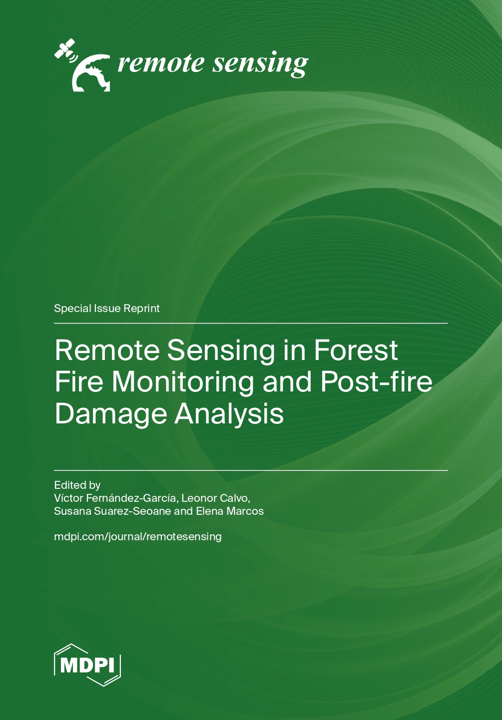
| Judul | Remote Sensing in Forest Fire Monitoring and Post-fire Damage Analysis / Edited by: Víctor Fernández-García; Leonor Calvo; Susana Suarez-Seoane; Elena Marcos |
| Penerbitan | Basel : : MDPI, 2023 |
| Deskripsi Fisik | 258p. :ill. |
| ISBN | 9783036588827 9783036588834 |
| Subjek | FOREST ECOSYSTEMS |
| Catatan | More than half of the land surface on Earth can burn, and thus, fires are one of the most significant disturbances worldwide. Fires affecting forests are of great interest owing to the impacts they have on multiple provisioning and regulating ecosystem services. In this context, in which large portions of the Earth are affected by forest fires, remote sensing tools are essential equipment in fire-related assessments at multiple stages, including (I) the characterization of fire drivers and the development of predictive models, (II) the assessment of burned area, (III) the impact of the fire on soil and vegetation, and (IV) the post-fire recovery monitoring. In this reprint, we have compiled 10 research articles addressing these four topics and employing a wide variety of methodologies and remote sensing platforms (MSG, MODIS, Landsat, Sentinel-2 or airborne LiDAR). |
| Bentuk Karya | Tidak ada kode yang sesuai |
| Target Pembaca | Tidak ada kode yang sesuai |
| Lokasi Akses Online |
https://directory.doabooks.org/handle/20.500.12854/128614 |
| No Barcode | No. Panggil | Akses | Lokasi | Ketersediaan |
|---|---|---|---|---|
| 297726192 | 634.961 8 Rem | Baca Online | Perpustakaan Pusat - E-Lib KKB Ebook |
Tersedia |
| Tag | Ind1 | Ind2 | Isi |
| 001 | INLIS000000000169853 | ||
| 005 | 20260904013826 | ||
| 007 | ta | ||
| 008 | 260904################|##########|#|## | ||
| 020 | # | # | $a 9783036588827 |
| 020 | # | # | $a 9783036588834 |
| 035 | # | # | $a 0010-0926000147 |
| 082 | # | # | $a 634.961 8 |
| 084 | # | # | $a 634.961 8 Rem |
| 245 | # | # | $a Remote Sensing in Forest Fire Monitoring and Post-fire Damage Analysis /$c Edited by: Víctor Fernández-García; Leonor Calvo; Susana Suarez-Seoane; Elena Marcos |
| 260 | # | # | $a Basel : :$b MDPI,$c 2023 |
| 300 | # | # | $a 258p. : $b ill. |
| 500 | # | # | $a More than half of the land surface on Earth can burn, and thus, fires are one of the most significant disturbances worldwide. Fires affecting forests are of great interest owing to the impacts they have on multiple provisioning and regulating ecosystem services. In this context, in which large portions of the Earth are affected by forest fires, remote sensing tools are essential equipment in fire-related assessments at multiple stages, including (I) the characterization of fire drivers and the development of predictive models, (II) the assessment of burned area, (III) the impact of the fire on soil and vegetation, and (IV) the post-fire recovery monitoring. In this reprint, we have compiled 10 research articles addressing these four topics and employing a wide variety of methodologies and remote sensing platforms (MSG, MODIS, Landsat, Sentinel-2 or airborne LiDAR). |
| 650 | # | # | $a FOREST ECOSYSTEMS |
| 856 | # | # | $a https://directory.doabooks.org/handle/20.500.12854/128614 |
| 990 | # | # | $a 297726192 |
Content Unduh katalog
Karya Terkait :