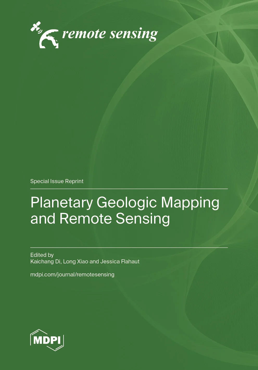
| Judul | Planetary Geologic Mapping and Remote Sensing / Kaichang Di |
| Pengarang | Kaichang Di Long Xiao Jessica Flahaut |
| Penerbitan | 4052 Basel, Switzerland, 2026 |
| Deskripsi Fisik | 328 |
| ISBN | 978-3-7258-7852-9 |
| Subjek | Physical Sciences; Remote sensing; Astrogeology |
| Catatan | "Summary The Reprint features 15 papers published in the Special Issue “Planetary Geologic Mapping and Remote Sensing”. Most studies target the Moon using Chang’E, LROC, and other mission data, covering high-resolution DEM generation, buried basin identification, surface chemical inversion via machine learning, crater degradation, and basalt chronology near Chang’e-4 landing area. Technical advances include spherical triangular mesh for lunar product registration and illumination-robust robotic mapping. Other works investigate Ceres cartography, Mercury DEMs from MESSENGER, and the Altiplano-Puna Volcanic Complex as a planetary analog. A review proposes long-distance exploration for lunar Mare Fecunditatis. These studies improve mapping methods, data applications, and geological interpretations for deep-space exploration." |
| Bentuk Karya | Tidak ada kode yang sesuai |
| Target Pembaca | Tidak ada kode yang sesuai |
| Lokasi Akses Online |
https://www.mdpi.com/books/reprint/12913-planetary-geologic-mapping-and-remote-sensing |
| No Barcode | No. Panggil | Akses | Lokasi | Ketersediaan |
|---|---|---|---|---|
| 118226192 | 559.92 Kai p | Baca Online | Perpustakaan Pusat - Online Resources Ebook |
Tersedia |
| Tag | Ind1 | Ind2 | Isi |
| 001 | INLIS000000000169114 | ||
| 005 | 20260610093904 | ||
| 007 | ta | ||
| 008 | 260610################|##########|#|## | ||
| 020 | # | # | $a 978-3-7258-7852-9 |
| 035 | # | # | $a 0010-0626000359 |
| 082 | # | # | $a 559.92 |
| 084 | # | # | $a 559.92 Kai p |
| 100 | 0 | # | $a Kaichang Di |
| 245 | 1 | # | $a Planetary Geologic Mapping and Remote Sensing /$c Kaichang Di |
| 260 | # | # | $a 4052 Basel, Switzerland,$c 2026 |
| 300 | # | # | $a 328 |
| 504 | # | # | $a "Summary The Reprint features 15 papers published in the Special Issue “Planetary Geologic Mapping and Remote Sensing”. Most studies target the Moon using Chang’E, LROC, and other mission data, covering high-resolution DEM generation, buried basin identification, surface chemical inversion via machine learning, crater degradation, and basalt chronology near Chang’e-4 landing area. Technical advances include spherical triangular mesh for lunar product registration and illumination-robust robotic mapping. Other works investigate Ceres cartography, Mercury DEMs from MESSENGER, and the Altiplano-Puna Volcanic Complex as a planetary analog. A review proposes long-distance exploration for lunar Mare Fecunditatis. These studies improve mapping methods, data applications, and geological interpretations for deep-space exploration." |
| 650 | # | # | $a Physical Sciences; Remote sensing; Astrogeology |
| 700 | 0 | # | $a Jessica Flahaut |
| 700 | 0 | # | $a Long Xiao |
| 856 | # | # | $a https://www.mdpi.com/books/reprint/12913-planetary-geologic-mapping-and-remote-sensing |
| 990 | # | # | $a 118226192 |
Content Unduh katalog
Karya Terkait :